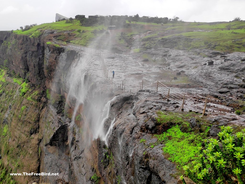
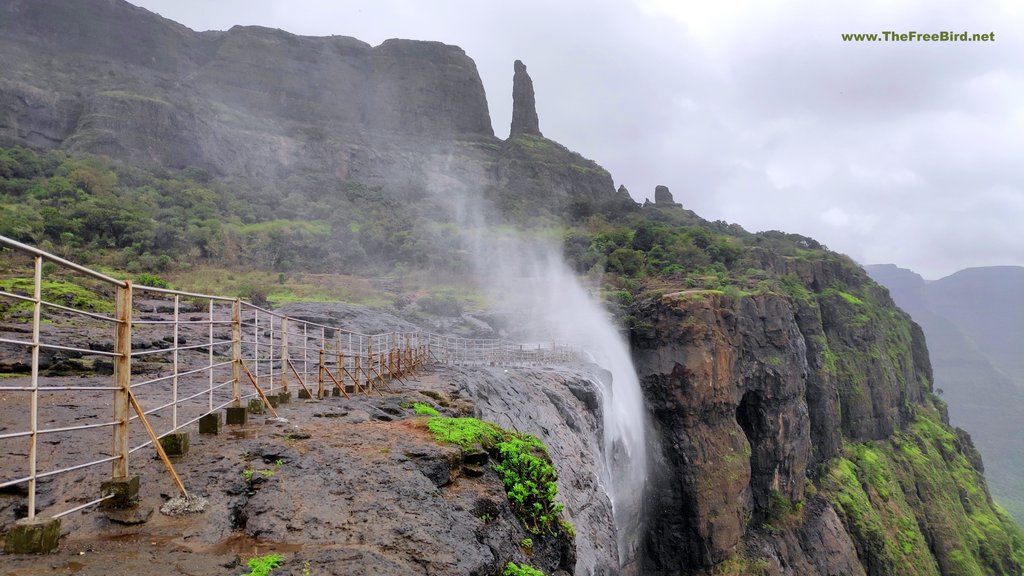
Naneghat Reverse Waterfall Is So Beautiful Trade Route trek.
Overview/Itinerary Naneghat Trek
A Perfect Escape into Nature!
Naneghat: The Historic Mountain Pass of Maharashtra
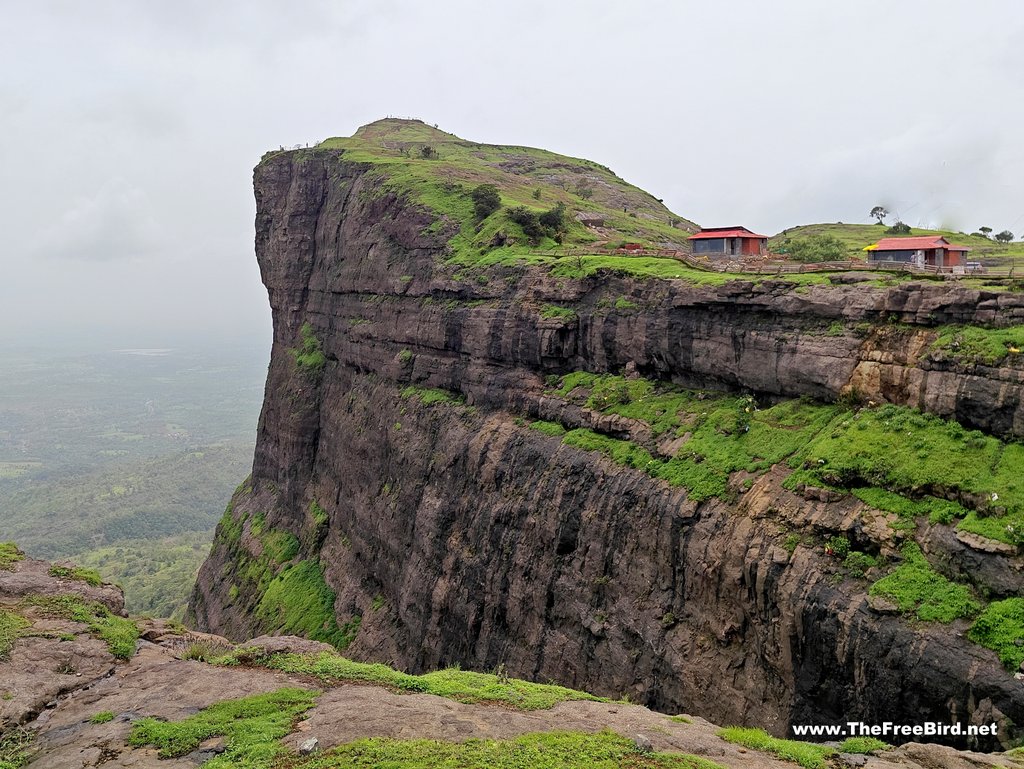
Perched at an elevation of 2,600 feet, Naneghat is a scenic mountain pass in the Western Ghats, near Junnar in Pune district, Maharashtra. This ancient route once connected the Konkan Coast to the historic town of Junnar, serving as a vital trade link. The name "Naneghat" derives from "Nane" (coin) and "Ghat" (pass), as it functioned as a toll collection point for traders traversing the hills.
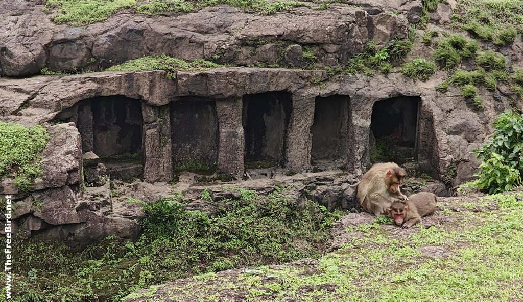
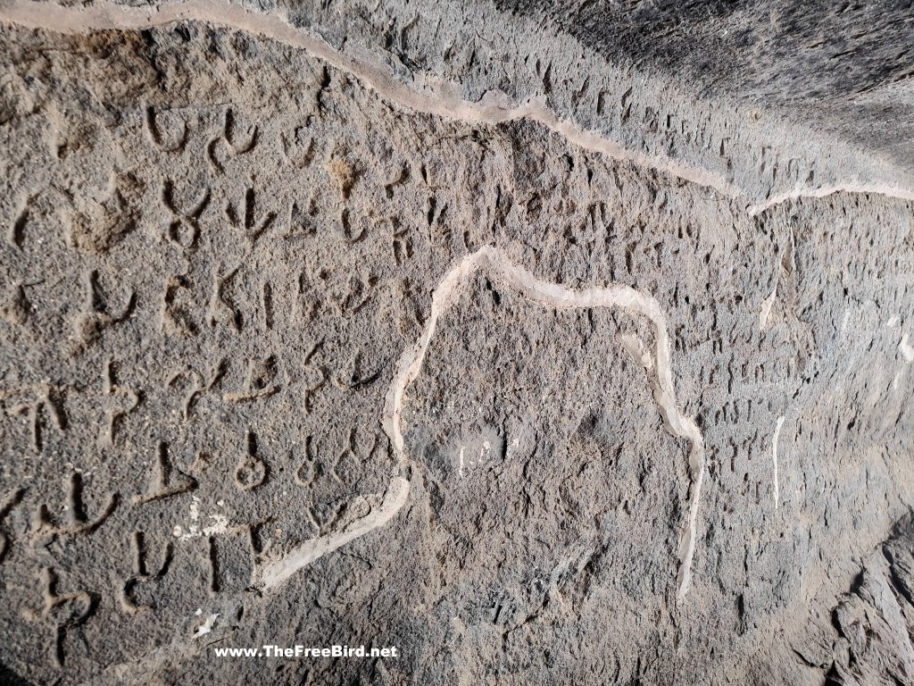
Visible from Malshej Ghat after passing Murbad, Naneghat holds deep historical significance. Inscriptions in nearby caves suggest it was under the rule of the Satavahana dynasty and later the Mauryan Empire. Today, the pass can be accessed via Vaishakhare or Dhandya.
Historical Significance of Naneghat
During the Satavahana reign (1st century BCE–2nd century CE), Naneghat was a bustling trade route between Kalyan and Junnar, linking the ports of Sopara (Nalasopara) and Kalyan to inland cities like Paithan. Along with Bor Ghat and Malshej Ghat, it was one of the primary passages connecting the coast to the Deccan plateau.
The Satavahanas heavily relied on Naneghat for trade and travel, but over time, invasions and neglect led to its decline. Despite its faded glory, the pass remains an important archaeological and trekking destination.
Trekking at Naneghat
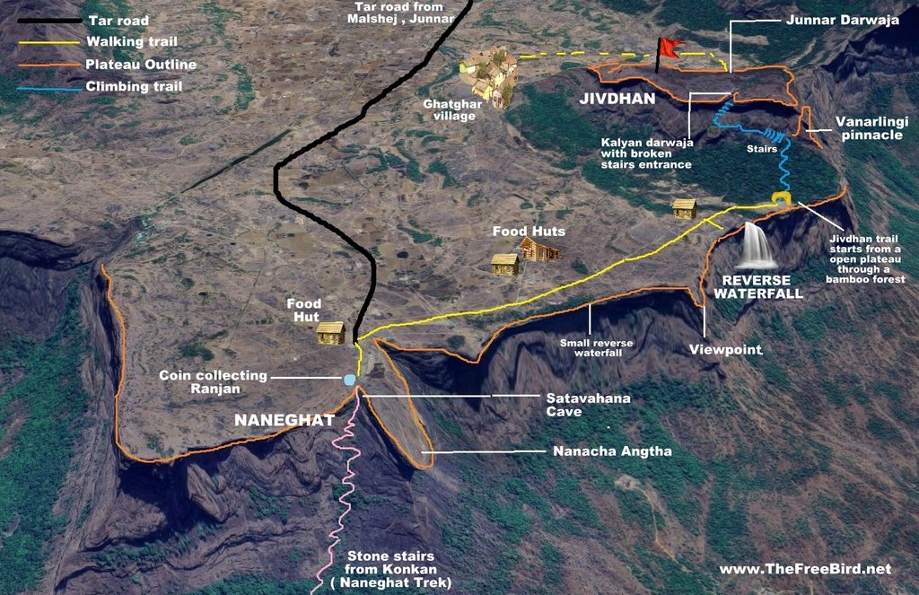
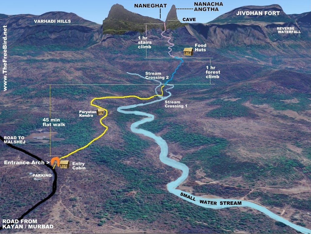
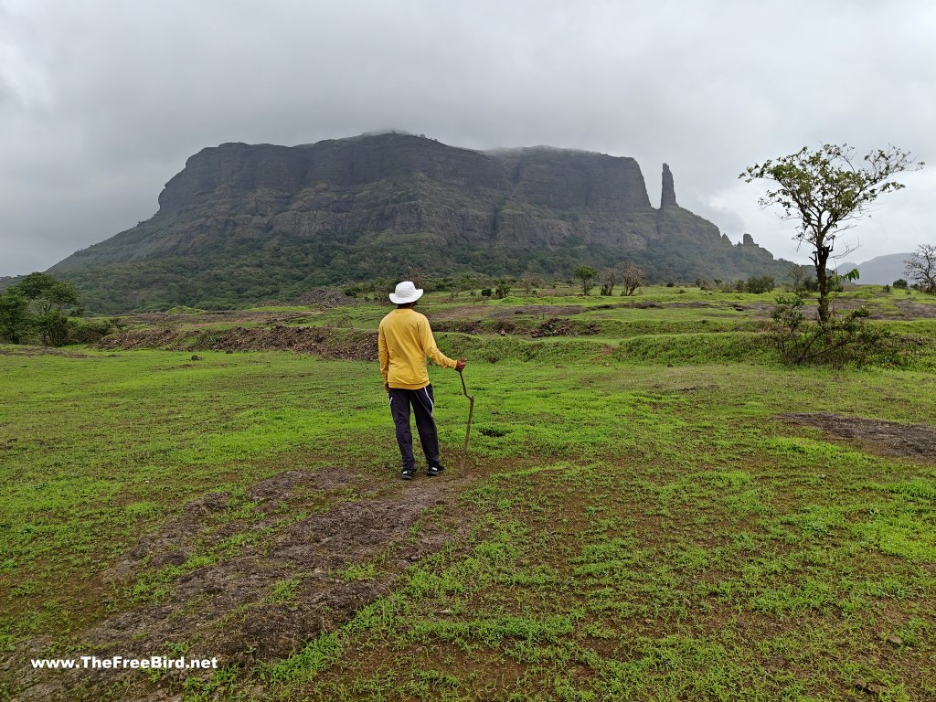
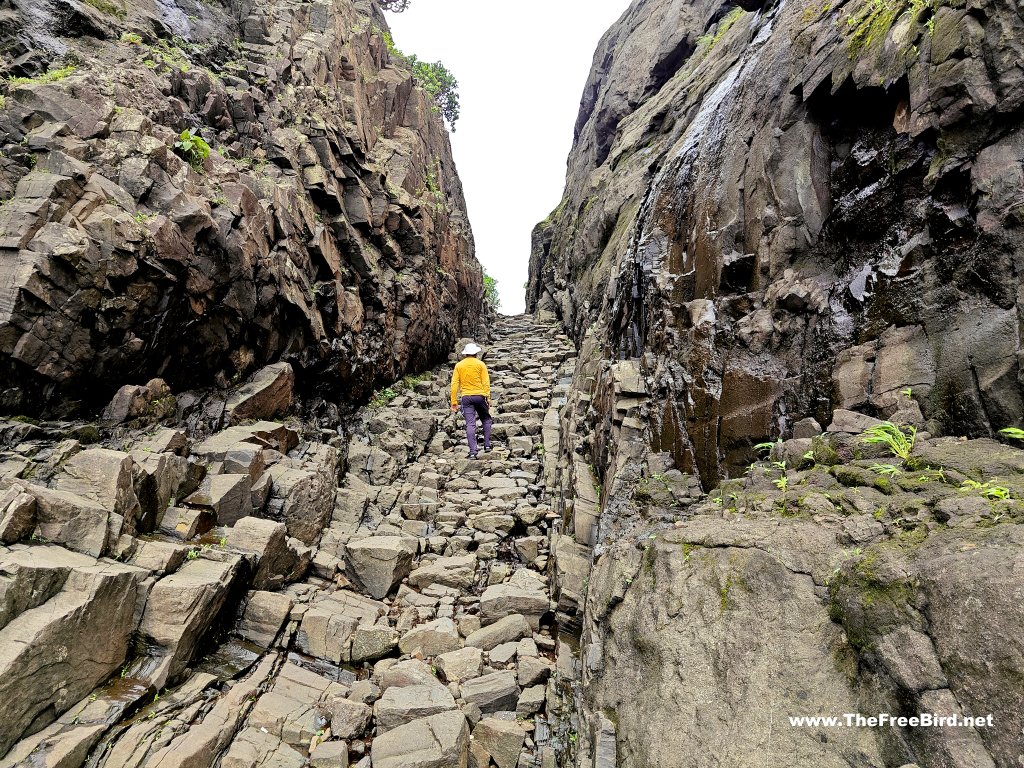
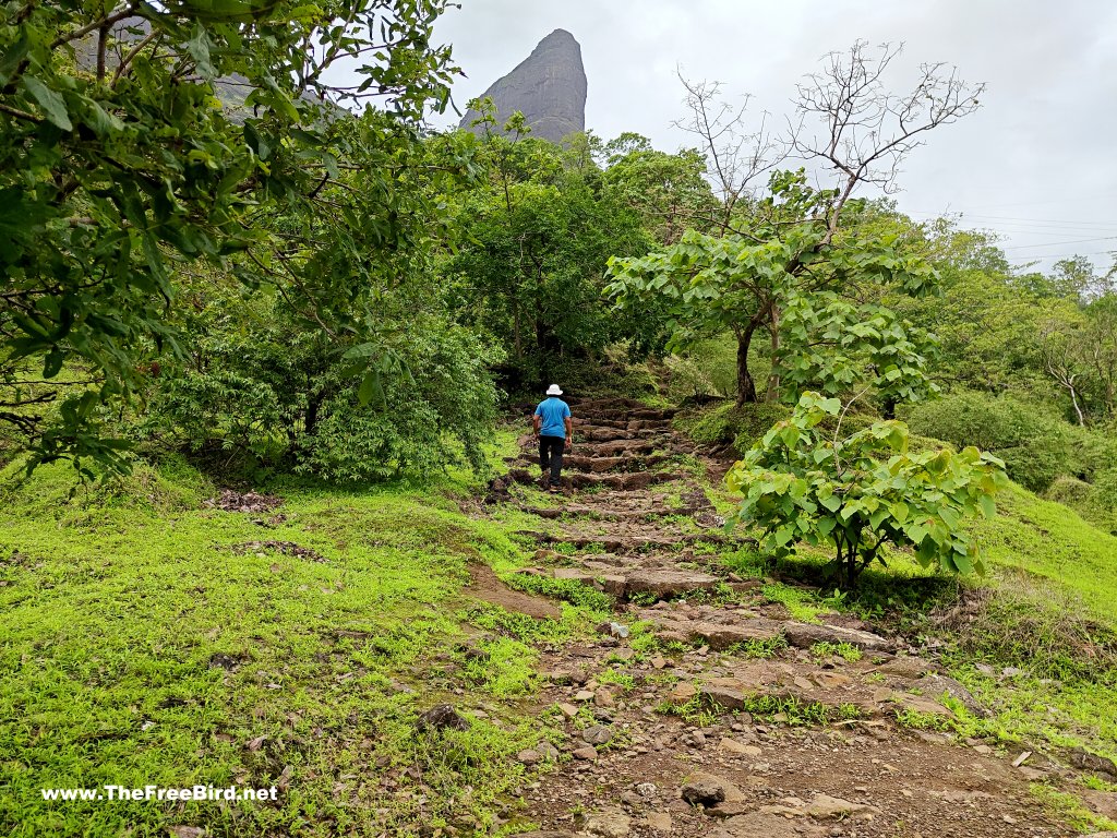
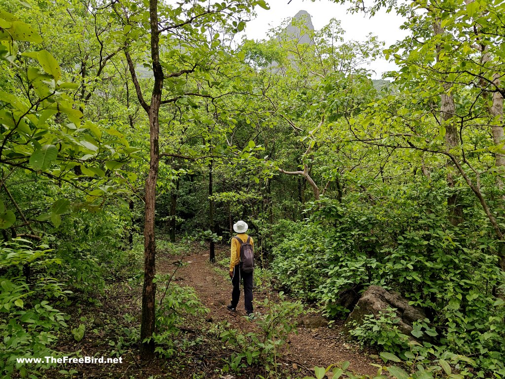
The Naneghat trek begins near the Ahmednagar-Kalyan highway, offering a well-marked 5 km trail. The route passes through dry terrain and patchy forests, culminating in a steep climb to the hilltop. The trek is moderate in difficulty, making it suitable for beginners and seasoned trekkers alike.
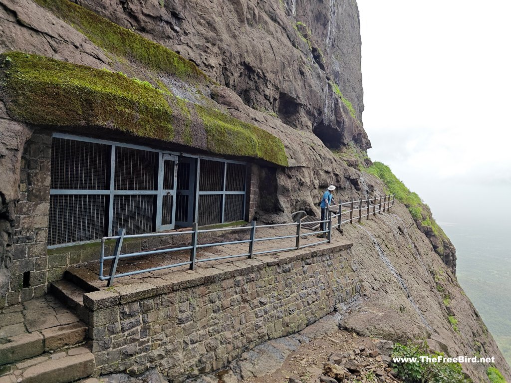
At the summit, trekkers are rewarded with panoramic views of the surrounding Sahyadri ranges, along with ancient rock-cut caves and inscriptions that whisper tales of its glorious past.
Vaishakhare Village: The Gateway to Naneghat
Vaishakhare, a small village in Murbad sub-district (Thane district), serves as one of the starting points for the Naneghat trek. With a population of 1,587, it spans 11 sq. km, nearly 49% of which is forested.
Key Details:
-
Nearest Town: Kalyan (92 km)
-
Sub-District HQ: Murbad (32 km)
-
District HQ: Thane (82 km)
The village's serene surroundings and proximity to Naneghat make it a preferred stop for trekkers and history enthusiasts.
Naneghat Trek Event Details
- Naneghat Trek Difficulty Level: Medium
- Naneghat Trek height: 2800 ft. (approx.)
- Naneghat Trek Base Village: Vaishakhare
- Naneghat Trek Distance: six kilometres one way
- Naneghat Trek Reverse Waterfall Region: Malshej Ghat
- Naneghat photos: available in the photo gallery
- Trekker Fitness and Endurance: Medium and BMI under 30
- Best time to visit Naneghat Trek's reverse waterfall: June–September (when the waterfall is at its peak)
- Total time required for climbing Naneghat: Maximum 2.5–3 hrs.
- Naneghat Trek's nearest railway station is Kalyan.
- Duration: 1 night and 1 day
- Naneghat Trek Type: Ancient Trade Route
- Distance from Mumbai: 112 km
- Distance from Pune: 170 km
-
- oplus_1048576
-
- oplus_1048576
-

- oplus_1048576
-
- oplus_1048576
-
- oplus_1048576
-
- oplus_1048576
-
- oplus_1048576
-
- oplus_1048576
-
- oplus_1048576